Skip to contentThe Volcano
Circle
Explore the circleMapStoriesAbout
The Volcano Circle
DestinationsMapStoriesAbout
© 2026 The Volcano Circle
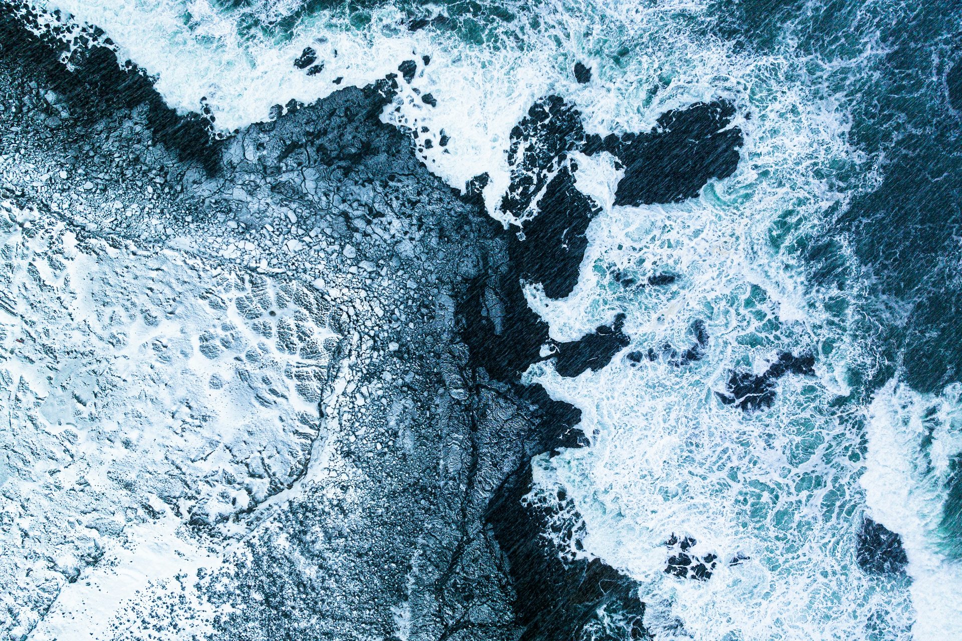
Atlantic waves washing over the rocky shoreline at Valahnúkamöl
  1. Home
  2. Destinations
  3. Valahnúkamöl
Stop 11

Valahnúkamöl

See the rounded boulder shore and coastal views near Reykjanes Lighthouse.

All places Route map

At a glance

Accessibility
Limited, boulder shoreline
Family-friendly
With caution

Valahnúkamöl

  1. 01Why visit Valahnúkamöl?
  2. 02Walking and accessibility
  3. 03Before you set off
  4. 04Route map
  5. 05Next stops.

Why visit Valahnúkamöl?

Valahnúkamöl is a long ridge of rounded stones beside the cliffs at Reykjanes. The boulders make the coast’s energy visible: repeated waves and storms have worked hard edges into a rolling, tactile shoreline.

Read it alongside the lighthouse and nearby sea stacks. The three stops turn a dramatic viewpoint into a small lesson in coastal process, where the ocean is an active maker of landforms.

Walking and accessibility

Valahnúkamöl is a ridge of large rounded boulders shaped by powerful waves. The boulder shoreline is uneven terrain, so we classify that part of the visit as limited access. This is not a confirmed wheelchair route. View the coast from designated visitor areas and follow barriers around the neighbouring cliffs.

Visitor information source

Reviewed 9 September 2026.

Before you set off

Check road reports, local weather and current site access before travelling.

Local weather

Loading forecast

Reading the sky around this stop…

Icelandic Met Office

Latest road reports

Checking reports for Reykjanes…

Check current access

Route map

Valahnúkamöl is highlighted. Explore nearby stops and follow the road around the circle.

Calculating the mapped drive…

Preparing the route map…

Next stops.

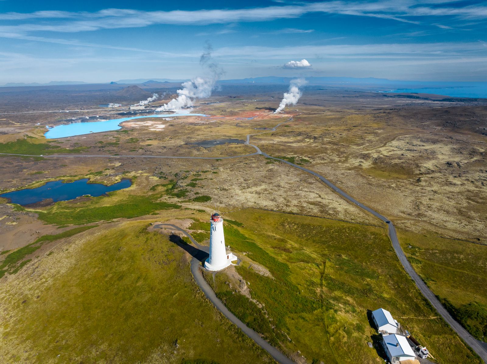
Reykjanes Lighthouse on its hill above the coast10

Reykjanes Lighthouse

Visit the landmark lighthouse near Gunnuhver and explore the surrounding lava coast.

Discover
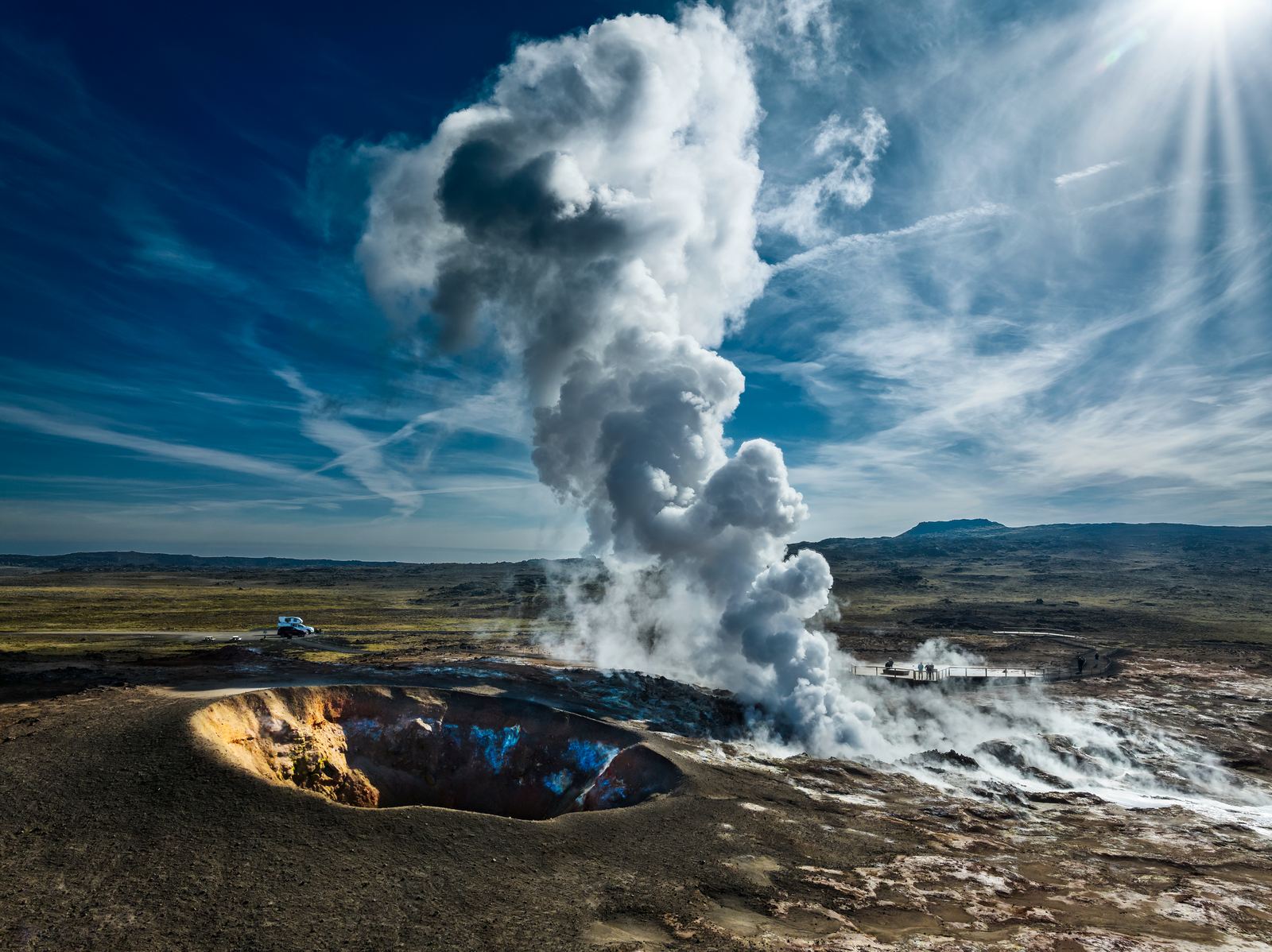
Steam rising from Gunnuhver beneath dramatic clouds08

Gunnuhver

See the steam vents and mud pools of Gunnuhver, near the southwestern tip of Reykjanes.

Discover
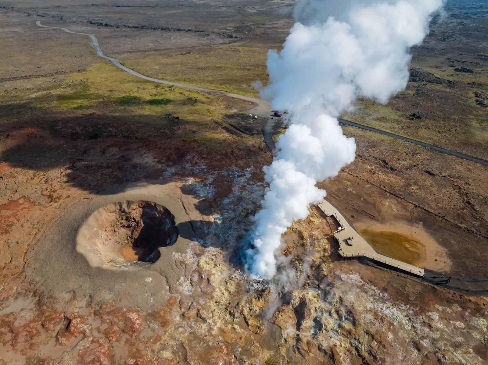
Aerial view of Gunnuhver and its geothermal landscape09

Reykjanes Geothermal Area

Explore the steam, hot ground and volcanic landscape around Gunnuhver at the southwestern end of Reykjanes.

Discover
Atlantic waves washing over the rocky shoreline at Valahnúkamöl
  1. Home
  2. Destinations
  3. Valahnúkamöl
Stop 11

Valahnúkamöl

See the rounded boulder shore and coastal views near Reykjanes Lighthouse.

All places Route map

At a glance

Accessibility
Limited, boulder shoreline
Family-friendly
With caution

Valahnúkamöl

  1. 01Why visit Valahnúkamöl?
  2. 02Walking and accessibility
  3. 03Before you set off
  4. 04Route map
  5. 05Next stops.

Why visit Valahnúkamöl?

Valahnúkamöl is a long ridge of rounded stones beside the cliffs at Reykjanes. The boulders make the coast’s energy visible: repeated waves and storms have worked hard edges into a rolling, tactile shoreline.

Read it alongside the lighthouse and nearby sea stacks. The three stops turn a dramatic viewpoint into a small lesson in coastal process, where the ocean is an active maker of landforms.

Walking and accessibility

Valahnúkamöl is a ridge of large rounded boulders shaped by powerful waves. The boulder shoreline is uneven terrain, so we classify that part of the visit as limited access. This is not a confirmed wheelchair route. View the coast from designated visitor areas and follow barriers around the neighbouring cliffs.

Visitor information source

Reviewed 9 September 2026.

Before you set off

Check road reports, local weather and current site access before travelling.

Local weather

Loading forecast

Reading the sky around this stop…

Icelandic Met Office

Latest road reports

Checking reports for Reykjanes…

Check current access

Route map

Valahnúkamöl is highlighted. Explore nearby stops and follow the road around the circle.

Calculating the mapped drive…

Explore the circle

Loading the location map…

Atlantic waves washing over the rocky shoreline at Valahnúkamöl
Storm-shaped shore

Valahnúkamöl

See the rounded boulder shore and coastal views near Reykjanes Lighthouse.

Explore this stop

Next stops.

Reykjanes Lighthouse on its hill above the coast10

Reykjanes Lighthouse

Visit the landmark lighthouse near Gunnuhver and explore the surrounding lava coast.

Discover
Steam rising from Gunnuhver beneath dramatic clouds08

Gunnuhver

See the steam vents and mud pools of Gunnuhver, near the southwestern tip of Reykjanes.

Discover
Aerial view of Gunnuhver and its geothermal landscape09

Reykjanes Geothermal Area

Explore the steam, hot ground and volcanic landscape around Gunnuhver at the southwestern end of Reykjanes.

Discover