Begin with the bigger picture
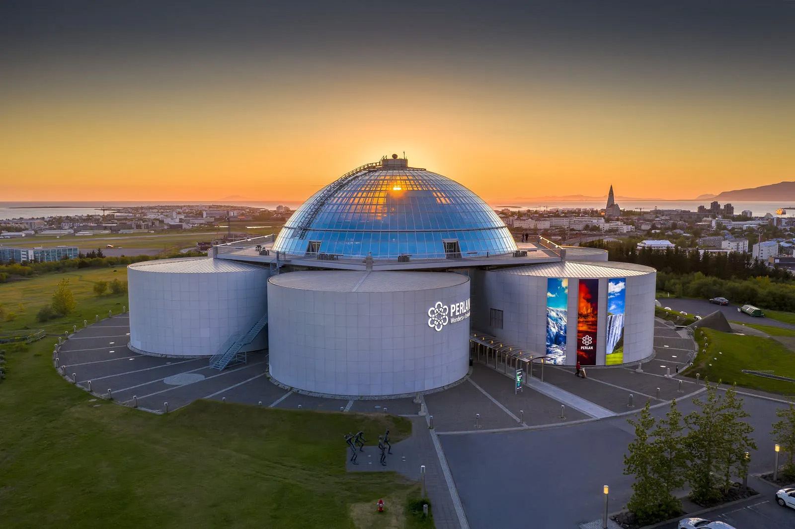
The Volcano Circle connects places that reveal different parts of Iceland’s volcanic landscape. Use the route to move between the broad explanation at Perlan and the features you can see outside.
Lava, heat and moving ground
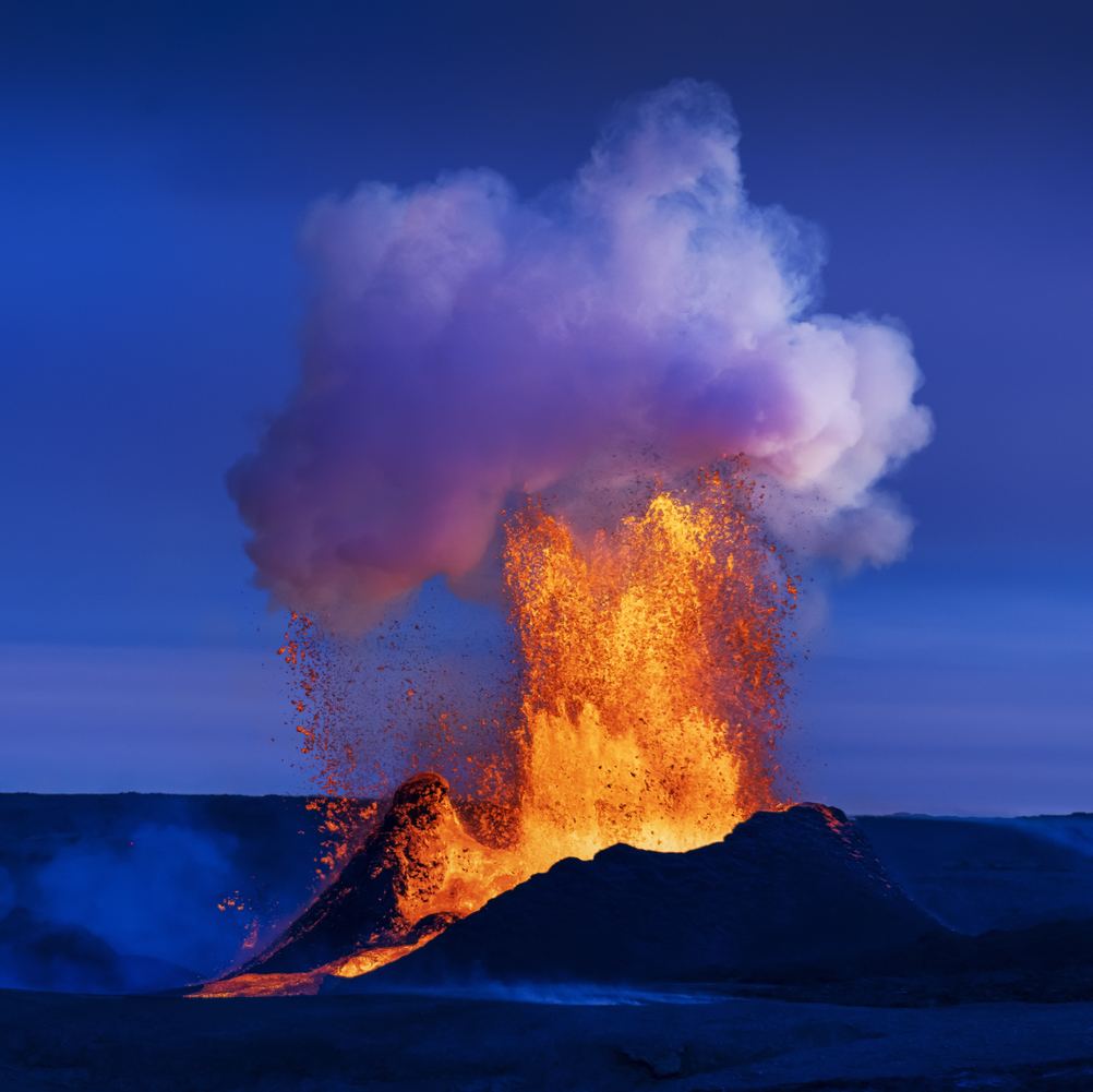
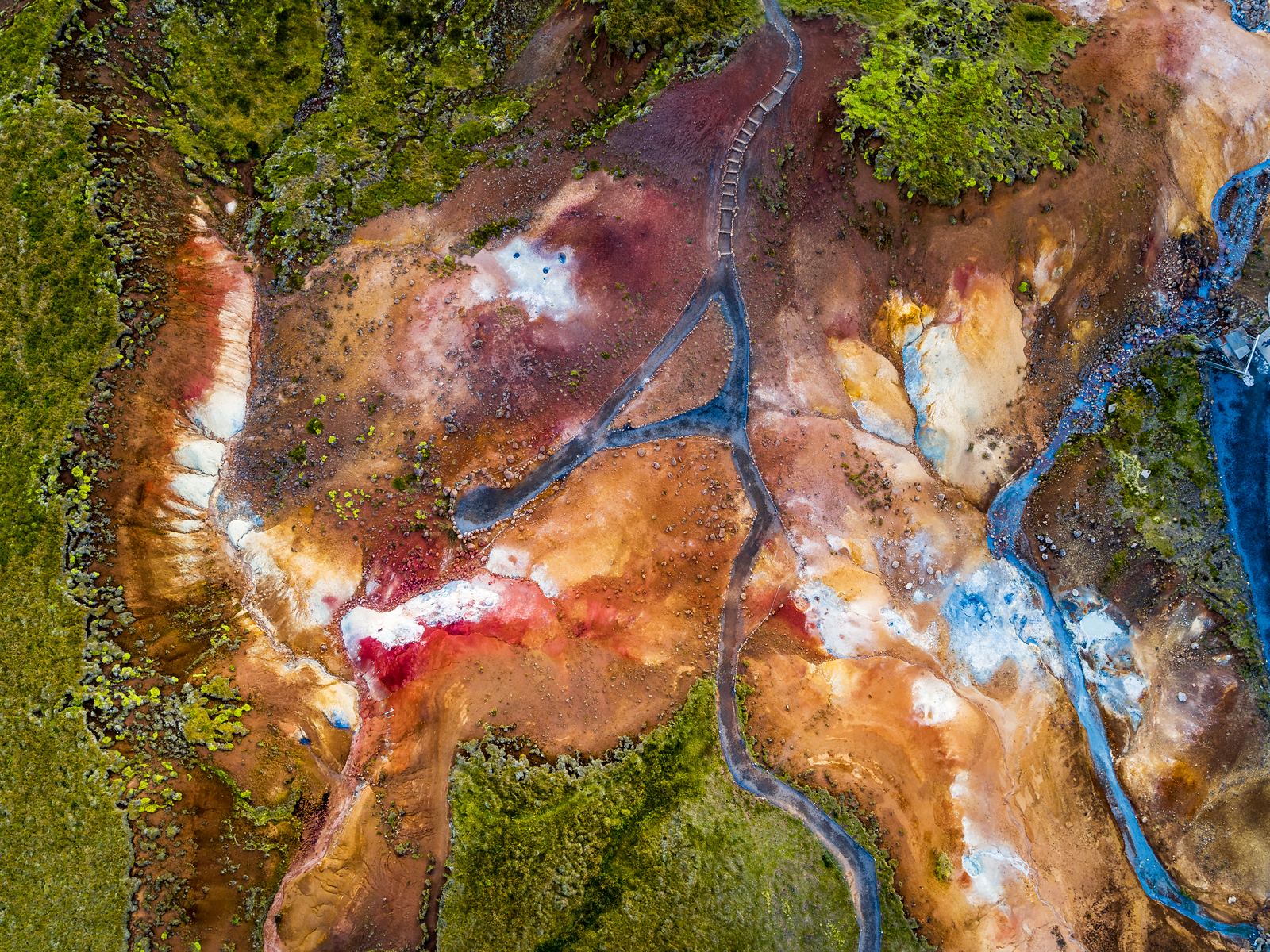
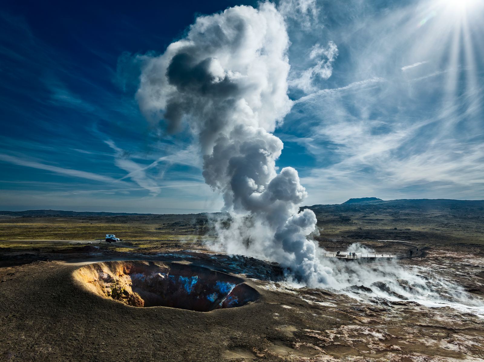
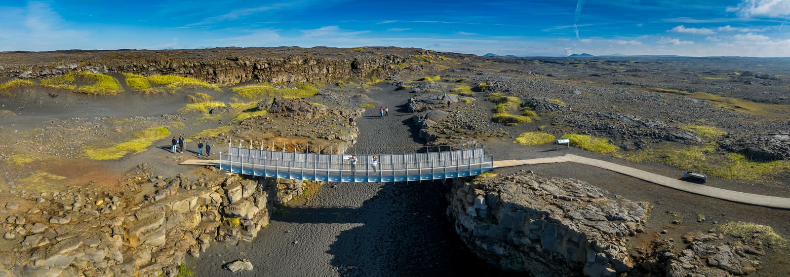
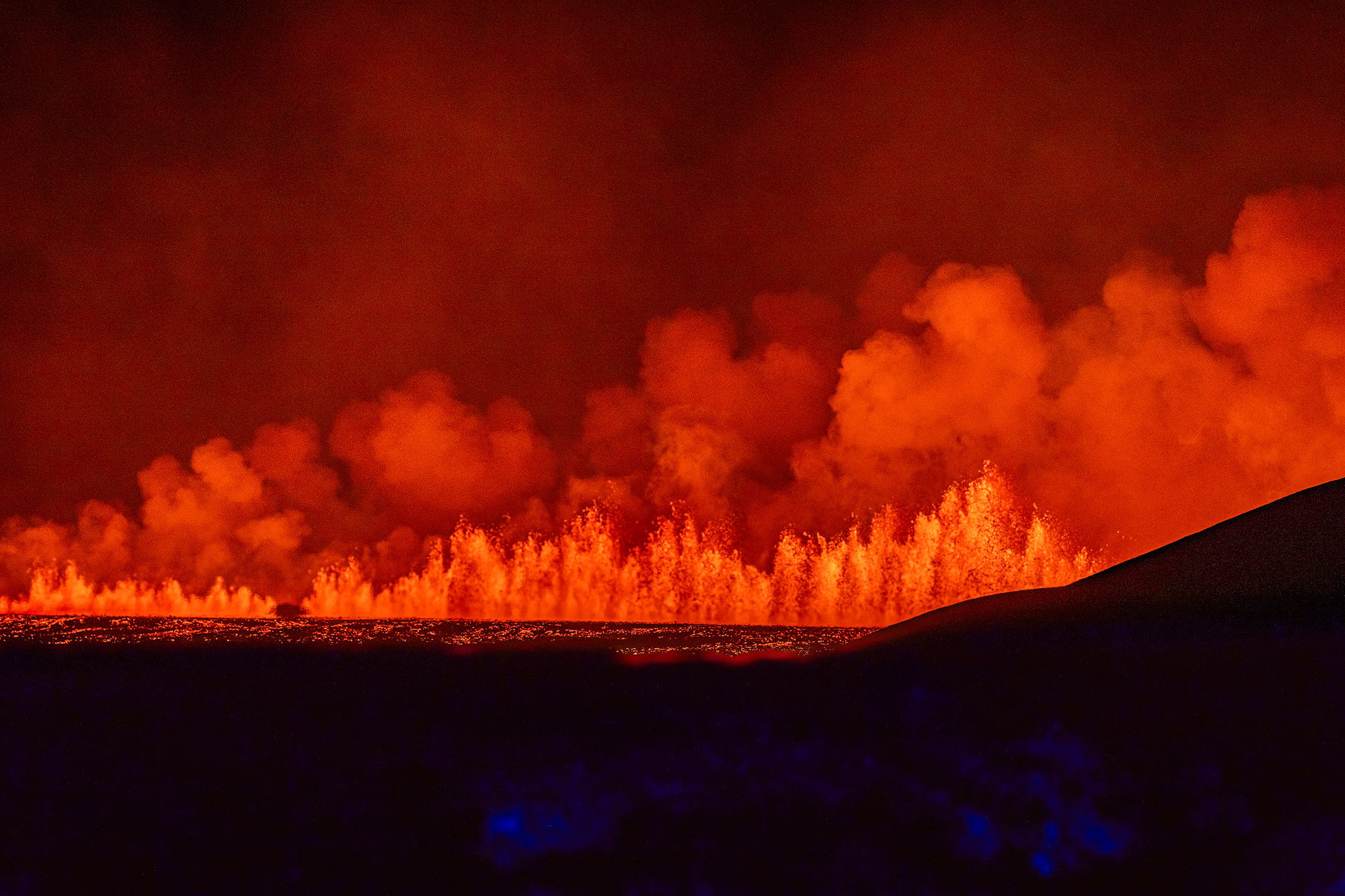
Fagradalsfjall introduces the landscape of recent eruptions. At Seltún and Gunnuhver, steam, mud pools and mineral colours show geothermal activity at the surface. The Bridge Between Continents offers a way into the story of the tectonic plates.
Explore the eruption markers
The map includes markers for recent eruption areas with dates and source links. These mark geological events, not places where a visit or a walking route is necessarily possible. Use current official guidance when deciding where to go.
Take the story further
Explore Perlan’s guide to Fagradalsfjall, then use our destination pages to connect that story with the wider circle.