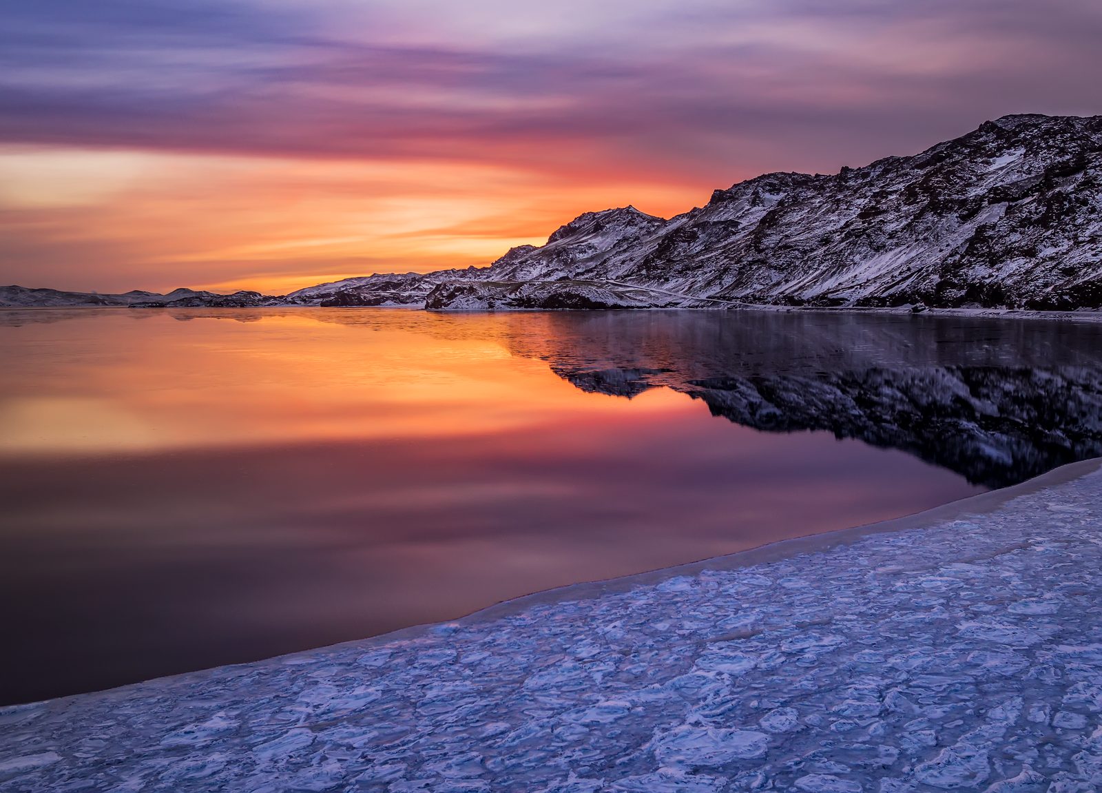
Why visit Kleifarvatn?
Kleifarvatn is the largest lake on the peninsula, set between the ridges of Sveifluháls and Vatnshlíð. Its broad surface gives the surrounding volcanic forms room to register: slopes, shorelines, and changing light.
The lake also belongs to the peninsula’s earthquake story, with its shape and water level connected to movement below ground. Look for the small details at the edge, then widen the view to the whole basin.
Perlan describes Kleifarvatn as a lake formed in a subglacial volcanic depression more than 10,000 years ago. Its water is fed by underground springs, so the dark basin can feel unusually self-contained as you look across it.
Walking and accessibility
Kleifarvatn is a natural lakeside destination with different viewpoints rather than one defined accessible visitor route. The official destination page does not specify wheelchair access or path gradients. Select a viewpoint that suits your needs and assess the ground before leaving the parking area; do not assume access to the shore.
Reviewed 9 September 2026.
Kleifarvatn, in pictures.
Before you set off
Check road reports, local weather and current site access before travelling.
Local weather
Loading forecastReading the sky around this stop…
Latest road reports
Checking reports for Reykjanes…
Route map
Kleifarvatn is highlighted. Explore nearby stops and follow the road around the circle.
Calculating the mapped drive…
Next stops.
 03
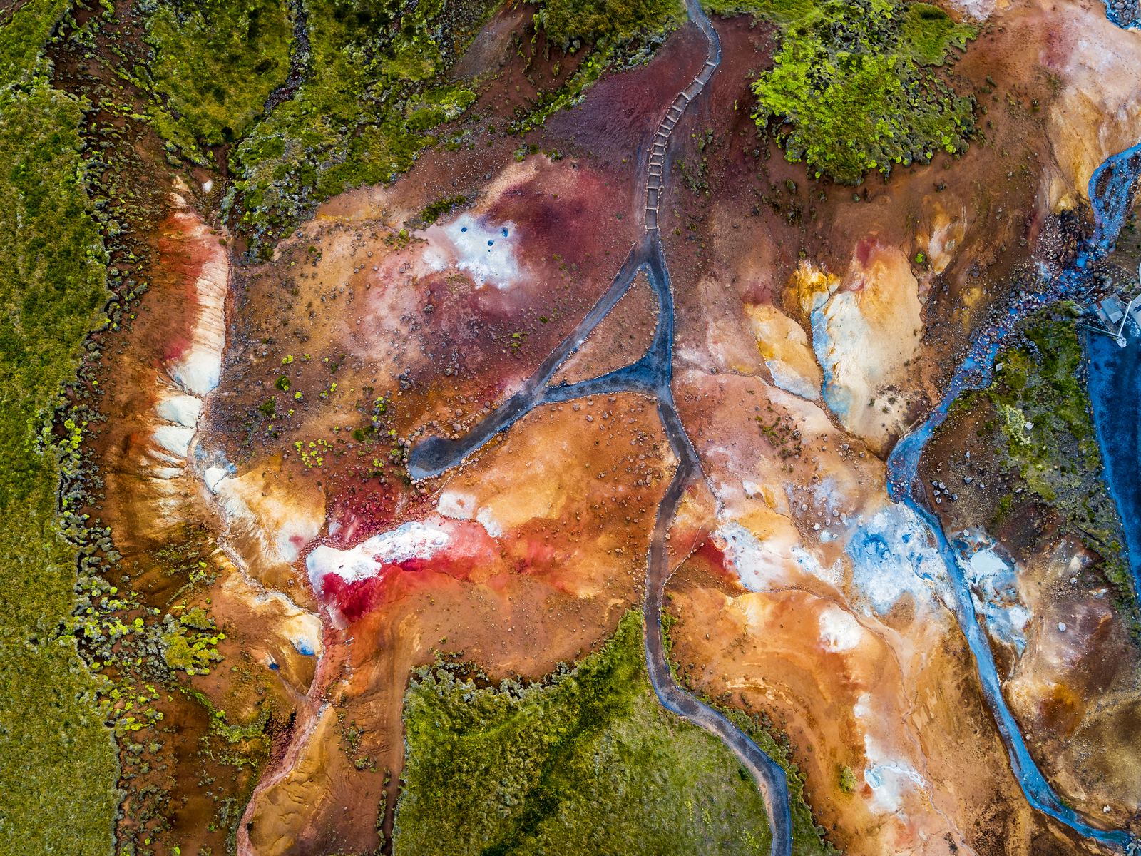
03Krýsuvík & Seltún
At Krýsuvík & Seltún, the geothermal activity is noticeable as soon as you step out of the car. You can see the steam, hear the bubbling mud pools, and smell the sulphur in the air. Follow the boardwalk for a closer look at the geothermal features that make this one of the most distinctive stops on the Reykjanes Peninsula.
Discover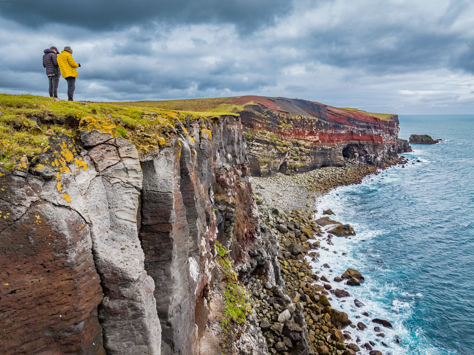 04
04Krýsuvíkurberg
Krýsuvíkurberg brings you to the southern edge of the Reykjanes Peninsula, where long sea cliffs face the open Atlantic. The area is particularly known for its birdlife, with thousands of seabirds nesting along the cliffs during summer.
Discover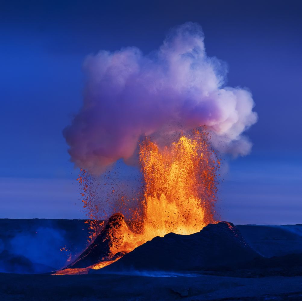 05
05Fagradalsfjall
Fagradalsfjall is known for the volcanic eruptions that created new lava fields between 2021 and 2023. Today, you can hike marked trails to viewpoints overlooking the eruption sites and solidified lava. Allow 3–6 hours, wear proper hiking gear, and always check current conditions before visiting.
Discover