Skip to contentThe Volcano
Circle
Explore the circleMapStoriesAbout
The Volcano Circle
DestinationsMapStoriesAbout
© 2026 The Volcano Circle
Bridge Between Continents spanning a lava fissure
  1. Home
  2. Destinations
  3. Bridge Between Continents
Stop 12

Bridge Between Continents

Cross a footbridge over a volcanic fissure and discover the story of Iceland’s tectonic plates.

All places Route map

At a glance

Accessibility
Wheelchair route not confirmed
Family-friendly
With caution

Bridge Between Continents

  1. 01Why visit Bridge Between Continents?
  2. 02Walking and accessibility
  3. 03Before you set off
  4. 04Route map
  5. 05Next stops.

Why visit Bridge Between Continents?

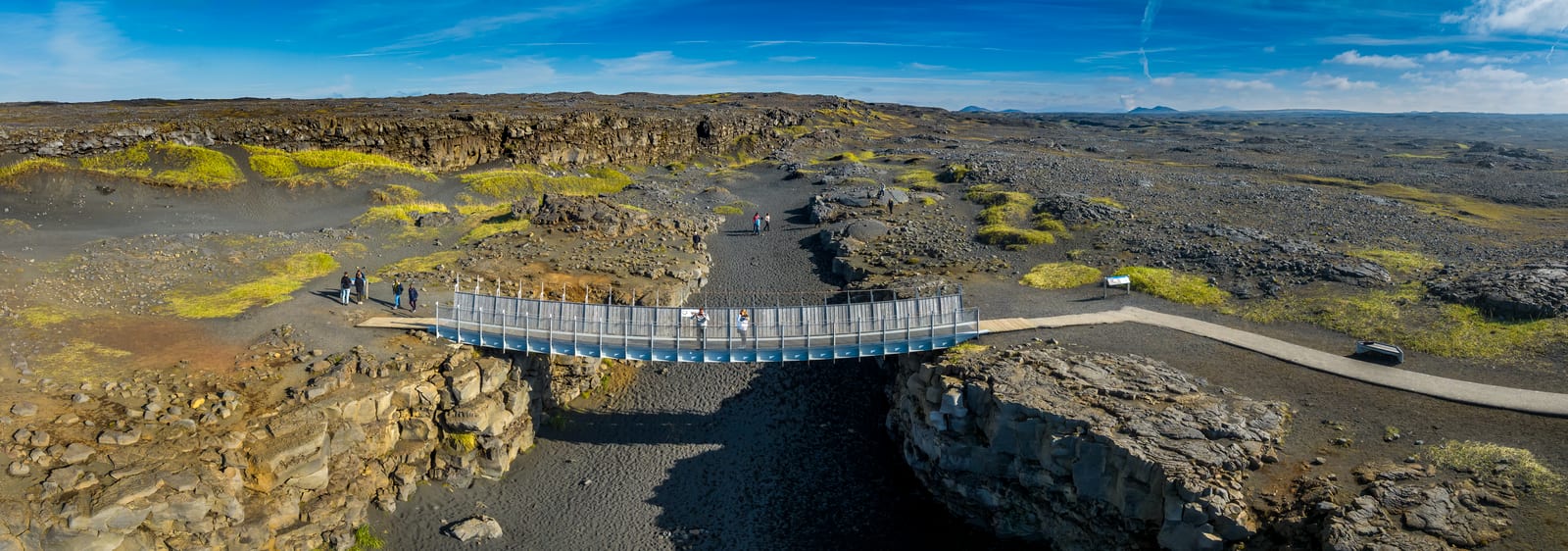
At Sandvík, a small footbridge crosses a fissure in the lava-scarred peninsula. The structure is modest; the idea beneath it is immense: the Eurasian and North American plates are slowly moving apart.

This is one of the clearest places to make Reykjanes’s geology legible without a long hike. Pair the visible crack with a broader explanation of rifting, then leave room for the landscape to do the rest of the teaching.

Walking and accessibility

Use the marked visitor paths and bridge. The destination authority warns about ground cracks near the site and advises avoiding fissure edges and unmarked ground. Its general destination listing does not confirm a continuous wheelchair route, so check the approach and current barriers before visiting.

Visitor information source

Reviewed 9 September 2026.

Before you set off

Check road reports, local weather and current site access before travelling.

Local weather

Loading forecast

Reading the sky around this stop…

Icelandic Met Office

Latest road reports

Checking reports for Reykjanes…

Check current access

Route map

Bridge Between Continents is highlighted. Explore nearby stops and follow the road around the circle.

Calculating the mapped drive…

Preparing the route map…

Next stops.

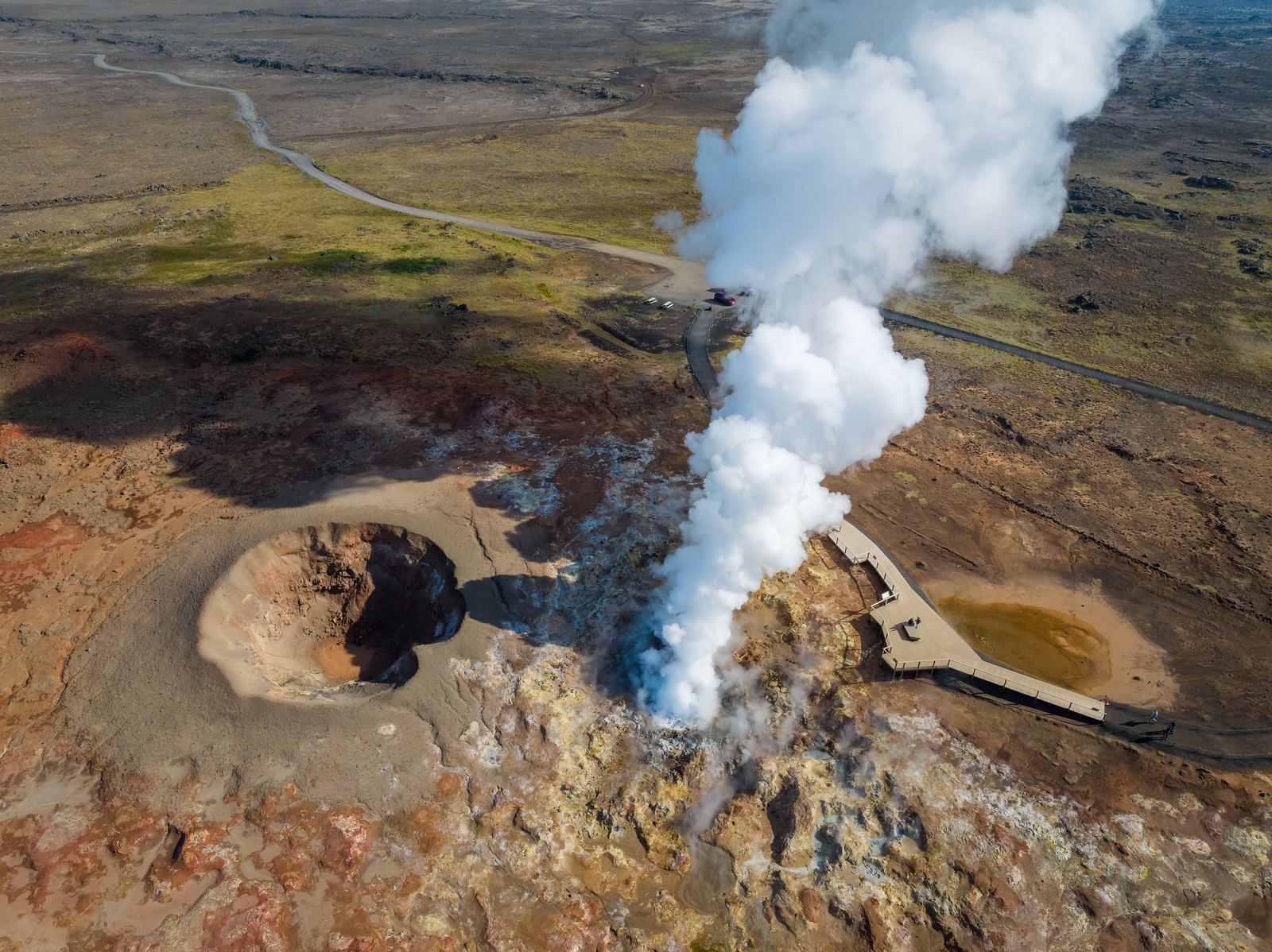
Aerial view of Gunnuhver and its geothermal landscape09

Reykjanes Geothermal Area

Explore the steam, hot ground and volcanic landscape around Gunnuhver at the southwestern end of Reykjanes.

Discover
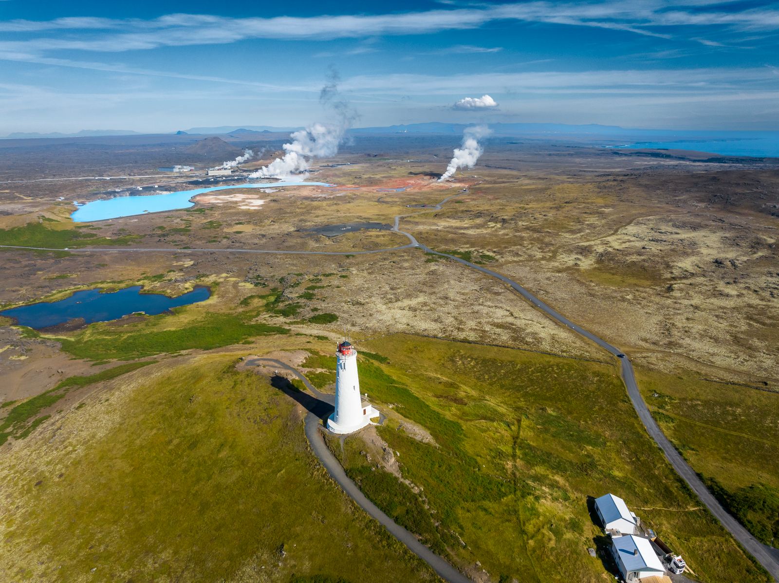
Reykjanes Lighthouse on its hill above the coast10

Reykjanes Lighthouse

Visit the landmark lighthouse near Gunnuhver and explore the surrounding lava coast.

Discover
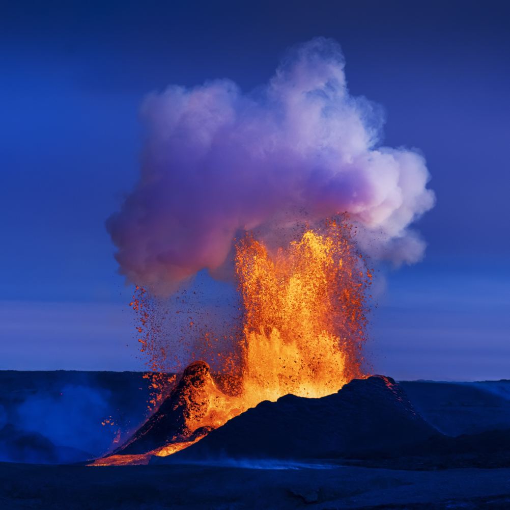
Lava erupting at Fagradalsfjall beneath a blue sky05

Fagradalsfjall

Fagradalsfjall is known for the volcanic eruptions that created new lava fields between 2021 and 2023. Today, you can hike marked trails to viewpoints overlooking the eruption sites and solidified lava. Allow 3–6 hours, wear proper hiking gear, and always check current conditions before visiting.

Discover
Bridge Between Continents spanning a lava fissure
  1. Home
  2. Destinations
  3. Bridge Between Continents
Stop 01

Bridge Between Continents

Cross a footbridge over a volcanic fissure and discover the story of Iceland’s tectonic plates.

All places Route map

At a glance

Accessibility
Wheelchair route not confirmed
Family-friendly
With caution

Bridge Between Continents

  1. 01Why visit Bridge Between Continents?
  2. 02Walking and accessibility
  3. 03Before you set off
  4. 04Route map
  5. 05Next stops.

Why visit Bridge Between Continents?

At Sandvík, a small footbridge crosses a fissure in the lava-scarred peninsula. The structure is modest; the idea beneath it is immense: the Eurasian and North American plates are slowly moving apart.

This is one of the clearest places to make Reykjanes’s geology legible without a long hike. Pair the visible crack with a broader explanation of rifting, then leave room for the landscape to do the rest of the teaching.

Walking and accessibility

Use the marked visitor paths and bridge. The destination authority warns about ground cracks near the site and advises avoiding fissure edges and unmarked ground. Its general destination listing does not confirm a continuous wheelchair route, so check the approach and current barriers before visiting.

Visitor information source

Reviewed 9 September 2026.

Before you set off

Check road reports, local weather and current site access before travelling.

Local weather

Loading forecast

Reading the sky around this stop…

Icelandic Met Office

Latest road reports

Checking reports for Reykjanes…

Check current access

Route map

Bridge Between Continents is highlighted. Explore nearby stops and follow the road around the circle.

Calculating the mapped drive…

Explore the circle

Loading the location map…

Bridge Between Continents spanning a lava fissure
Tectonic boundary

Bridge Between Continents

Cross a footbridge over a volcanic fissure and discover the story of Iceland’s tectonic plates.

Explore this stop

Next stops.

Aerial view of Gunnuhver and its geothermal landscape04

Reykjanes Geothermal Area

Explore the steam, hot ground and volcanic landscape around Gunnuhver at the southwestern end of Reykjanes.

Discover
Reykjanes Lighthouse on its hill above the coast03

Reykjanes Lighthouse

Visit the landmark lighthouse near Gunnuhver and explore the surrounding lava coast.

Discover
Lava erupting at Fagradalsfjall beneath a blue sky08

Fagradalsfjall

Fagradalsfjall is known for the volcanic eruptions that created new lava fields between 2021 and 2023. Today, you can hike marked trails to viewpoints overlooking the eruption sites and solidified lava. Allow 3–6 hours, wear proper hiking gear, and always check current conditions before visiting.

Discover