Skip to contentThe Volcano
Circle
Explore the circleMapStoriesAbout
The Volcano Circle
DestinationsMapStoriesAbout
© 2026 The Volcano Circle
Aerial view of Gunnuhver and its geothermal landscape
  1. Home
  2. Destinations
  3. Reykjanes Geothermal Area
Stop 09

Reykjanes Geothermal Area

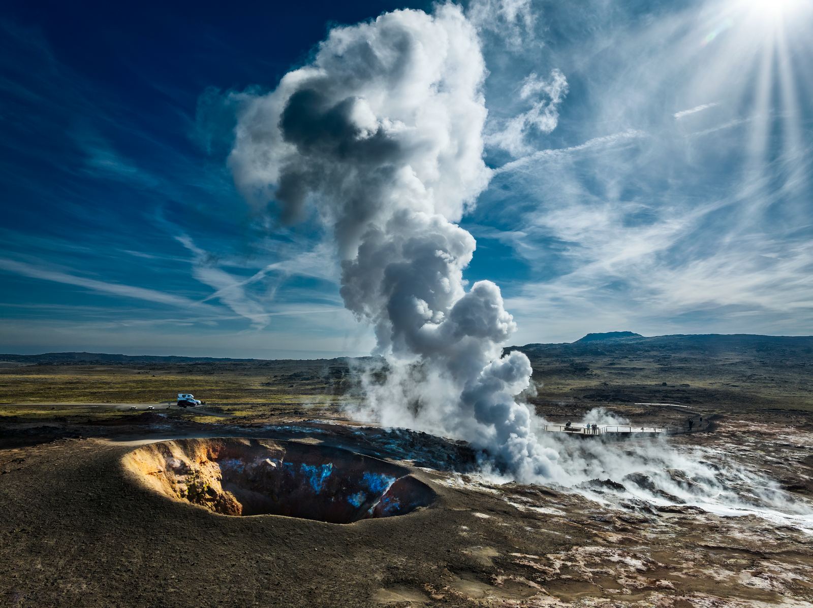
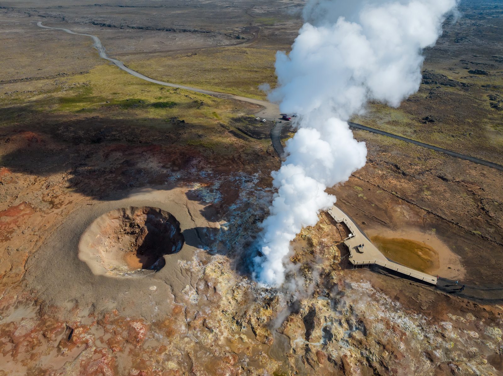
Explore the steam, hot ground and volcanic landscape around Gunnuhver at the southwestern end of Reykjanes.

All places Route map

At a glance

Accessibility
Varies by site

Reykjanes Geothermal Area

  1. 01Why visit Reykjanes Geothermal Area?
  2. 02Walking and accessibility
  3. 03Before you set off
  4. 04Route map
  5. 05Next stops.

Why visit Reykjanes Geothermal Area?

The Reykjanes geothermal area is a useful umbrella for understanding the peninsula beyond any single viewpoint. Steam, hot ground, mineral deposits, and volcanic fissures reveal how heat travels through the crust and reshapes the surface.

The area links the close-up drama of Seltún and Gunnuhver with the larger Mid-Atlantic Ridge story. Across the peninsula, visitors can see the processes of heat, water, gas, and altered rock at work.

Walking and accessibility

This marker represents a wider geothermal landscape, not a single attraction with one access standard. Gunnuhver has constructed viewing ramps; the surrounding natural terrain is not covered by that access provision. Use the individual Gunnuhver and lighthouse guides to plan a suitable stop.

Visitor information source

Reviewed 9 September 2026.

Before you set off

Check road reports, local weather and current site access before travelling.

Local weather

Loading forecast

Reading the sky around this stop…

Icelandic Met Office

Latest road reports

Checking reports for Reykjanes…

Check current access

Route map

Reykjanes Geothermal Area is highlighted. Explore nearby stops and follow the road around the circle.

Calculating the mapped drive…

Preparing the route map…

Next stops.

Steam rising from Gunnuhver beneath dramatic clouds08

Gunnuhver

See the steam vents and mud pools of Gunnuhver, near the southwestern tip of Reykjanes.

Discover
Colourful geothermal ground and steaming vents at Seltún03

Krýsuvík & Seltún

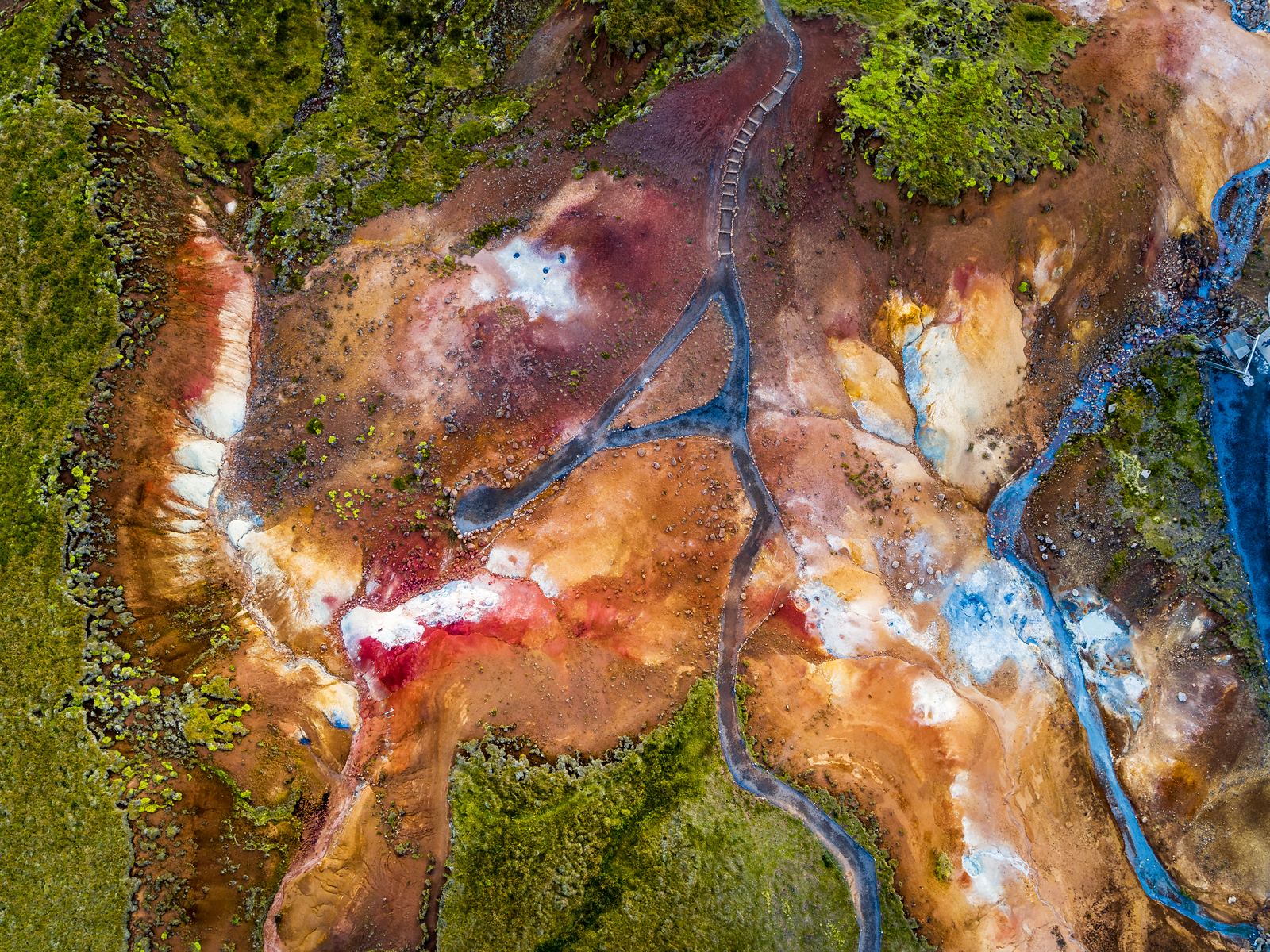
At Krýsuvík & Seltún, the geothermal activity is noticeable as soon as you step out of the car. You can see the steam, hear the bubbling mud pools, and smell the sulphur in the air. Follow the boardwalk for a closer look at the geothermal features that make this one of the most distinctive stops on the Reykjanes Peninsula.

Discover
Bridge Between Continents spanning a lava fissure12

Bridge Between Continents

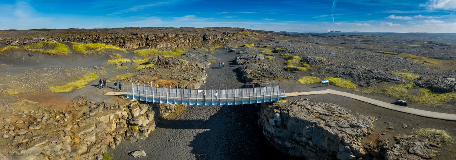
Cross a footbridge over a volcanic fissure and discover the story of Iceland’s tectonic plates.

Discover
Aerial view of Gunnuhver and its geothermal landscape
  1. Home
  2. Destinations
  3. Reykjanes Geothermal Area
Stop 04

Reykjanes Geothermal Area

Explore the steam, hot ground and volcanic landscape around Gunnuhver at the southwestern end of Reykjanes.

All places Route map

At a glance

Accessibility
Varies by site

Reykjanes Geothermal Area

  1. 01Why visit Reykjanes Geothermal Area?
  2. 02Walking and accessibility
  3. 03Before you set off
  4. 04Route map
  5. 05Next stops.

Why visit Reykjanes Geothermal Area?

The Reykjanes geothermal area is a useful umbrella for understanding the peninsula beyond any single viewpoint. Steam, hot ground, mineral deposits, and volcanic fissures reveal how heat travels through the crust and reshapes the surface.

The area links the close-up drama of Seltún and Gunnuhver with the larger Mid-Atlantic Ridge story. Across the peninsula, visitors can see the processes of heat, water, gas, and altered rock at work.

Walking and accessibility

This marker represents a wider geothermal landscape, not a single attraction with one access standard. Gunnuhver has constructed viewing ramps; the surrounding natural terrain is not covered by that access provision. Use the individual Gunnuhver and lighthouse guides to plan a suitable stop.

Visitor information source

Reviewed 9 September 2026.

Before you set off

Check road reports, local weather and current site access before travelling.

Local weather

Loading forecast

Reading the sky around this stop…

Icelandic Met Office

Latest road reports

Checking reports for Reykjanes…

Check current access

Route map

Reykjanes Geothermal Area is highlighted. Explore nearby stops and follow the road around the circle.

Calculating the mapped drive…

Explore the circle

Loading the location map…

Aerial view of Gunnuhver and its geothermal landscape
Living geology

Reykjanes Geothermal Area

Explore the steam, hot ground and volcanic landscape around Gunnuhver at the southwestern end of Reykjanes.

Explore this stop

Next stops.

Steam rising from Gunnuhver beneath dramatic clouds05

Gunnuhver

See the steam vents and mud pools of Gunnuhver, near the southwestern tip of Reykjanes.

Discover
Colourful geothermal ground and steaming vents at Seltún10

Krýsuvík & Seltún

At Krýsuvík & Seltún, the geothermal activity is noticeable as soon as you step out of the car. You can see the steam, hear the bubbling mud pools, and smell the sulphur in the air. Follow the boardwalk for a closer look at the geothermal features that make this one of the most distinctive stops on the Reykjanes Peninsula.

Discover
Bridge Between Continents spanning a lava fissure01

Bridge Between Continents

Cross a footbridge over a volcanic fissure and discover the story of Iceland’s tectonic plates.

Discover