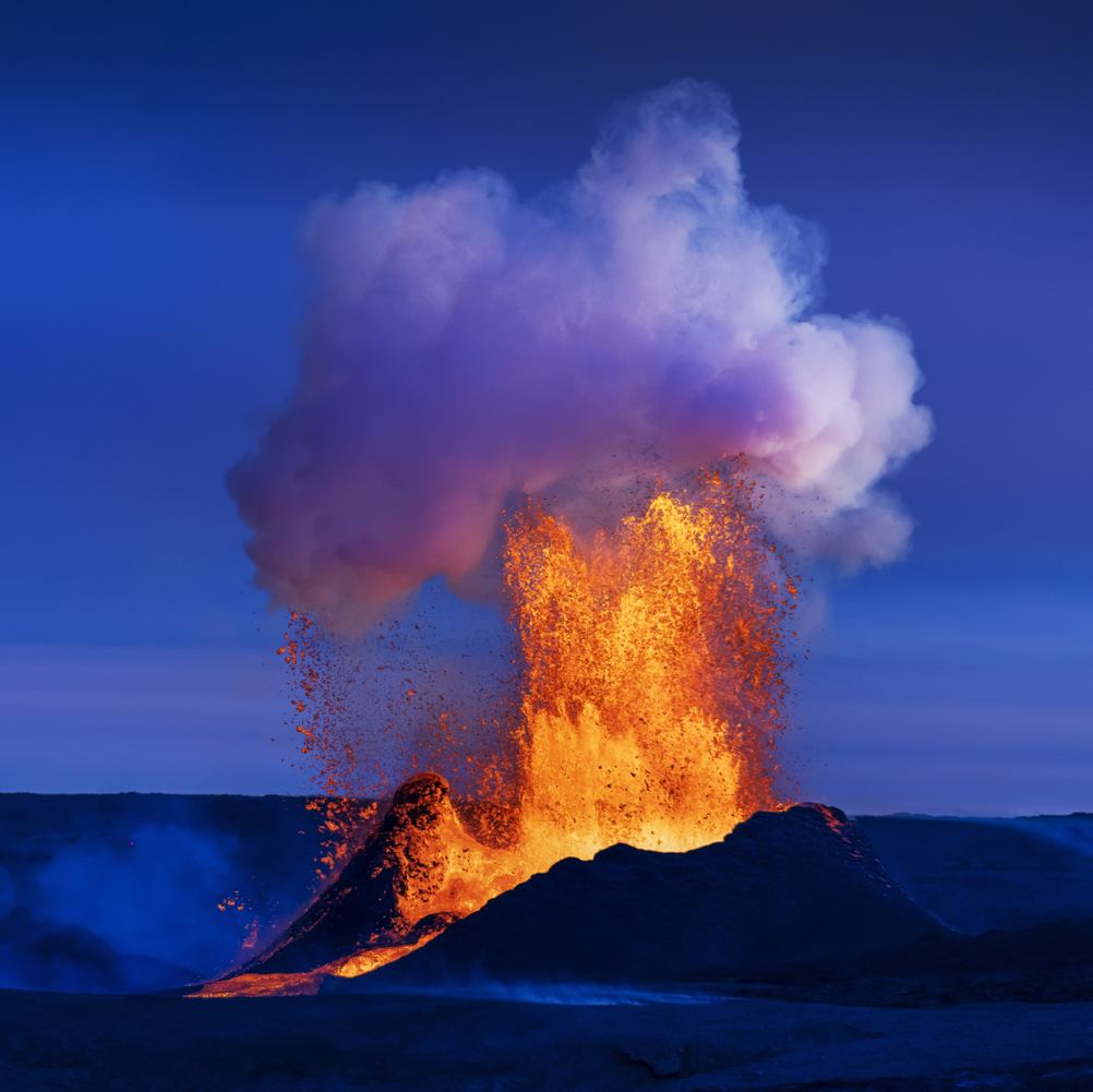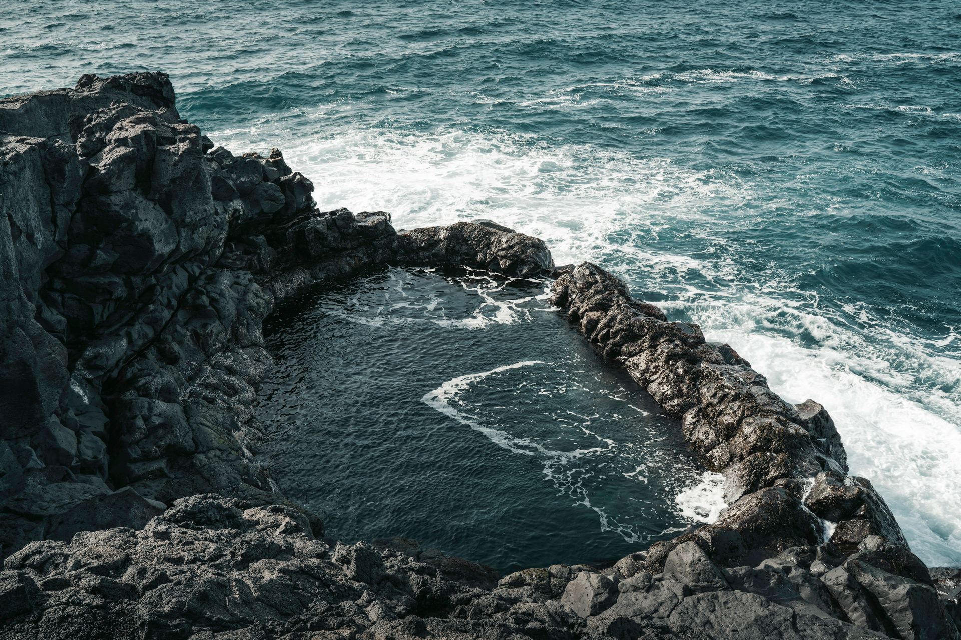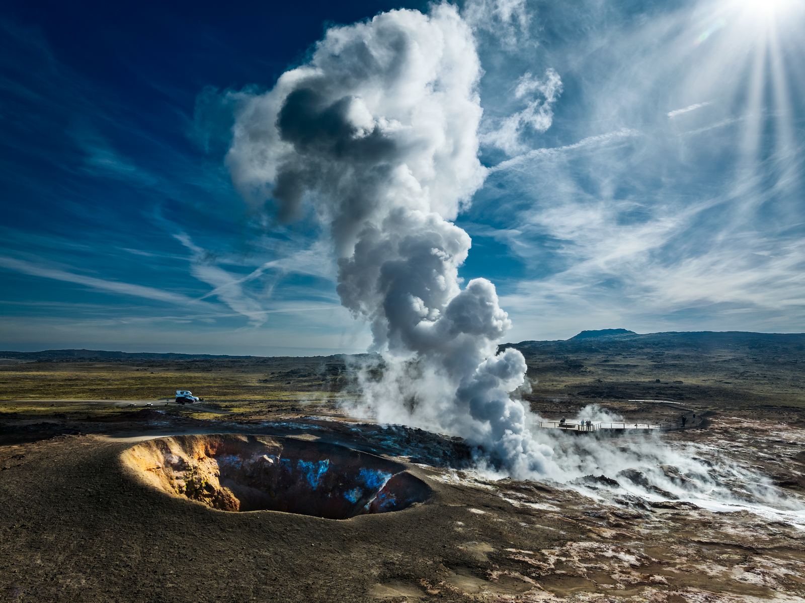
You don’t have to travel far from Reykjavík to see one of Iceland’s most recently active volcanic landscapes. Head southwest from the capital, and city streets soon give way to lava fields, volcanic mountains, and geothermal areas.
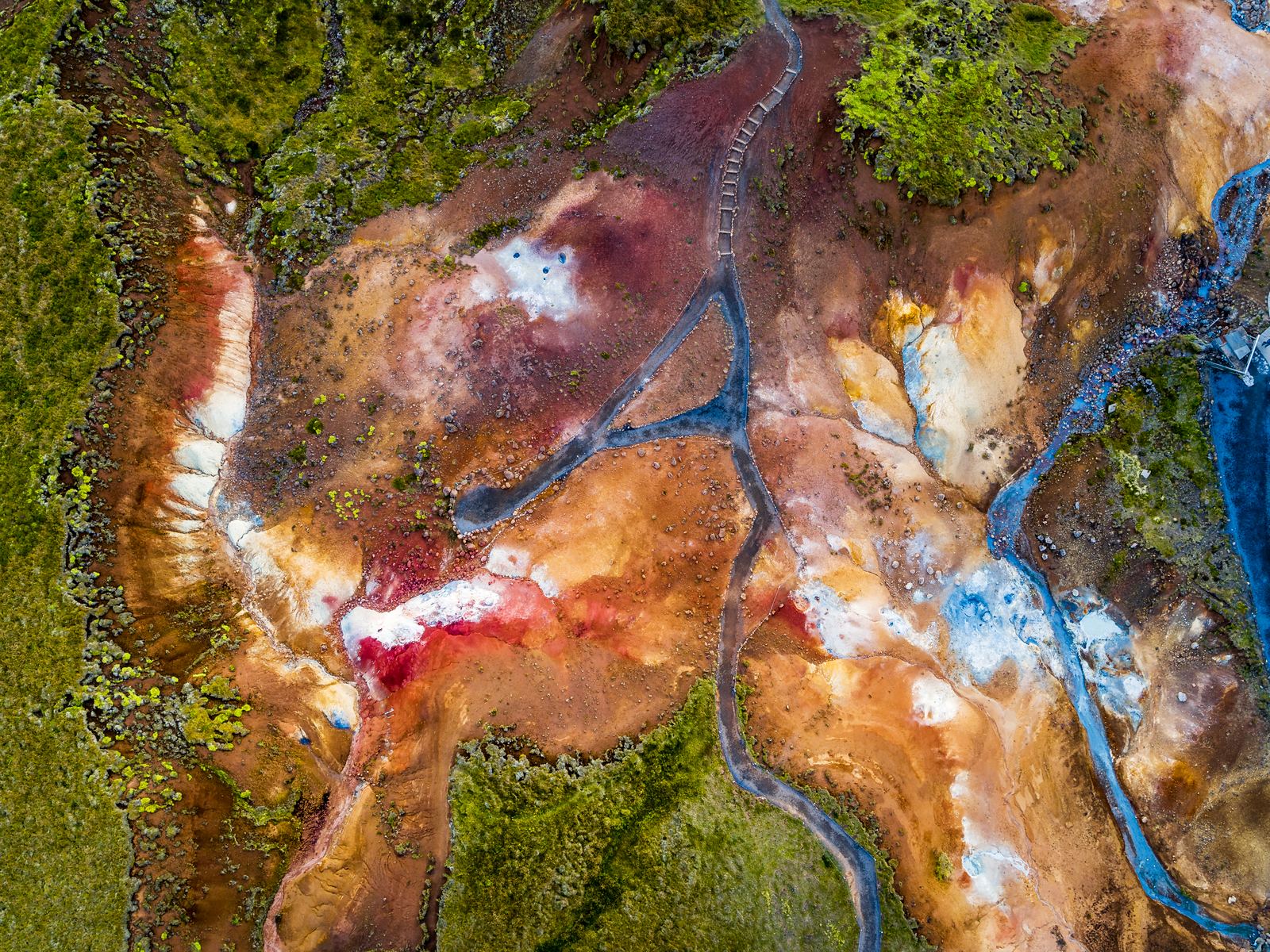
The Volcano Circle from Reykjavík takes you through this changing landscape on the Reykjanes Peninsula. Along the way, you’ll encounter bubbling mud pools, freshly cooled lava, rugged coastlines, and signs of Iceland’s active geology.
What Is the Volcano Circle in Iceland?
The Volcano Circle is a self-driving route around the Reykjanes Peninsula, southwest of Reykjavík. It connects many of the region’s best-known volcanic, geothermal, and coastal sights.
The Reykjanes Peninsula sits along the Mid-Atlantic Ridge, where the North American and Eurasian tectonic plates are slowly moving apart. This helps explain the peninsula’s frequent earthquakes, volcanic activity, and geothermal areas.
Driving the Volcano Circle lets you see how these geological forces have shaped Reykjanes, both in the past and today.
How Close Is the Volcano Circle to Reykjavík?
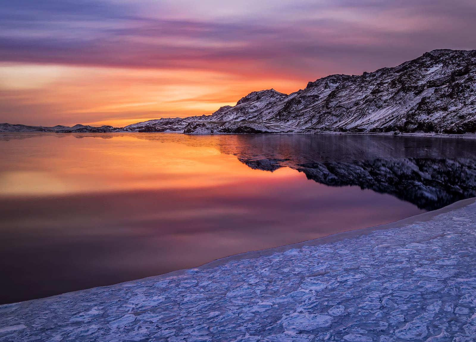
The Reykjanes Peninsula begins just southwest of Reykjavík, making the Volcano Circle Iceland route an easy escape from the capital. Lake Kleifarvatn, one of the first major stops, is about 30 km (19 mi) away and reachable in under an hour from Reykjavík.
From there, the Volcano Circle continues around the peninsula. It connects many of the best-known sights on the Reykjanes Peninsula before looping back towards Reykjavík.